How does it work?
It's a simple process.
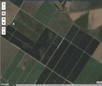
1. Add your farm on the map
Draw the polygon around your farm, enter a few details about your crop (like crop type, sowing date) and save your farm
Get near-real time updates of your crop growth, every 5-7 days.
No worries, just enter your username or email ID and we will send you an OTP to help reset your password.
Enter the OTP sent on your E-mail address
Reset password
Need help? Contact us
It's a simple process.
Draw the polygon around your farm, enter a few details about your crop (like crop type, sowing date) and save your farm
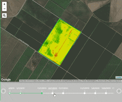
Scroll through the timeline to see crop growth analysis on every 5-7 days since the sowing date.
Based on the analysis and growth trend of the crops,
understand which regions of the farm need your attention

Subscribe to our latest product updates, we are excited to let you know about what more we are building.
No spam. No third-parties involved.
Copyright © IgnisNova Robotics